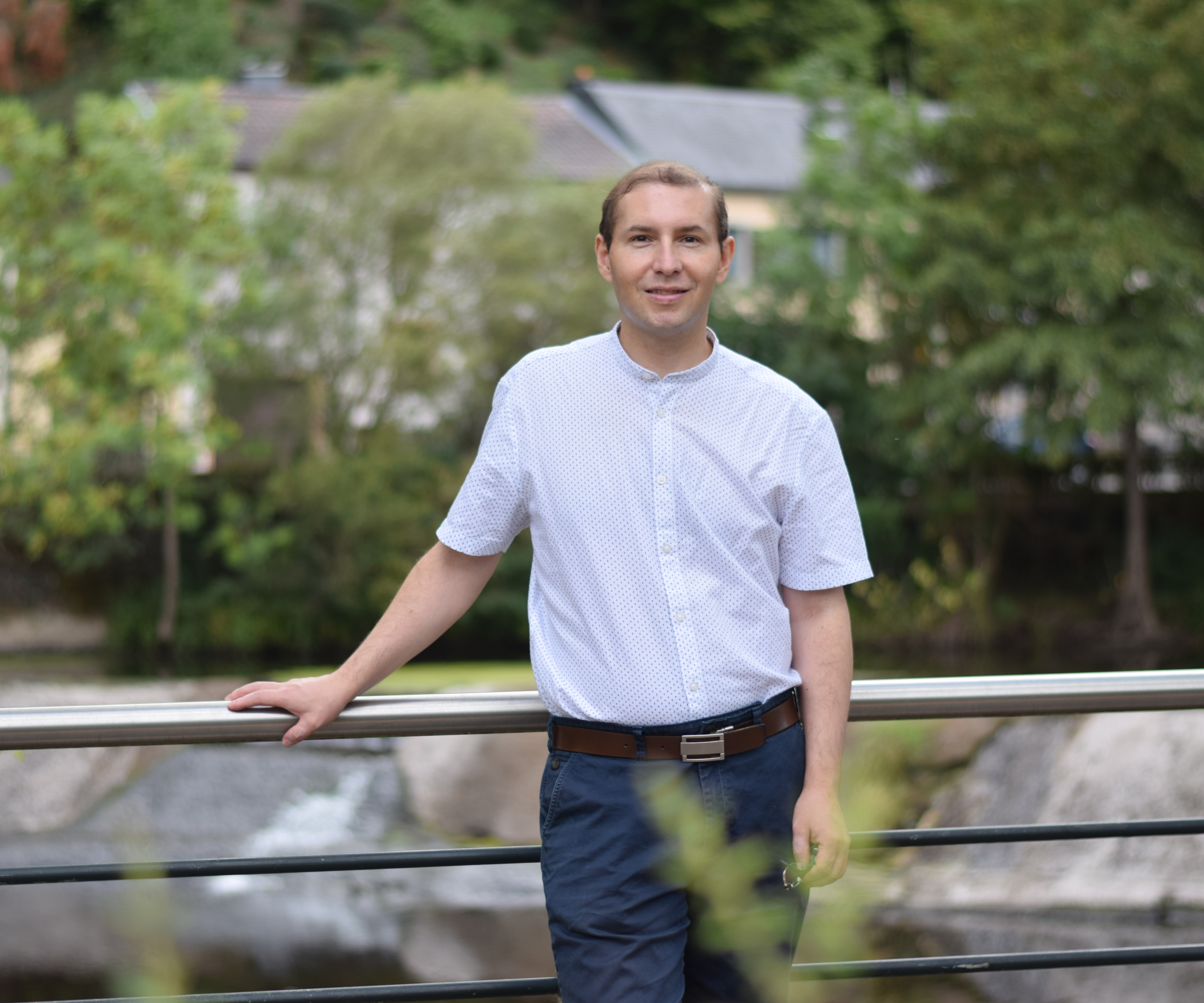
Arturo’s work…
Currently, Arturo works as a scientist (wissenschaftlicher Mitarbeiter) at the Climate Service Center Germany (GERICS). Arturo works in the optimization of the interfaces between impact models and regional climate models, specifically definition and development of interfaces to impact models; development of Python based libraries for the GERICS “Climate Service Infrastructure”; development of new analysis methods; and application of AI methods to optimize the interface between climate models data and impact models.
Previously, Arturo was a research & technology associate in the Environmental Research and Innovation (ERIN) department at the Luxembourg Institute of Science of Technology (LIST).
His research interests include GIS and geospatial data assimilation from Earth Observation, remote sensing, general circulation models (GCMs) and regional climate models (RCMs) for building data-driven and machine learning models, with applications in agriculture, natural resources management, and climate change assessment.
Arturo also has an ample experience in applied (spatial) statistics, and time series forecasting in areas related to flood and surface-water modelling, catchment and urban hydrology.
Learn more about Arturo’s research interests in My publications.
Ph.D. in Environmental Science ∙ Wageningen University and Research ∙ The Netherlands ∙ 2021
M.Sc. in Geospatial Technologies ∙ Westfälische Wilhelms-Universität Münster ∙ Germany ∙ 2014
M.Eng. in Water Resources ∙ Universidad Nacional de Colombia ∙ Colombia ∙ 2009
B.Eng. in Civil Engineering ∙ Universidad Nacional de Colombia ∙ Colombia ∙ 2004
Lately…
Arturo is a PhD-trained geospatial data scientist with 10+ years translating satellite and in situ observations into decision-ready intelligence for environmental and climate programs. He designs end-to-end geospatial models and data pipelines that blend remote sensing, spatial statistics, and machine learning to uncover actionable signals.
Core strengths:
- Scientific programming in Python and R, backed by reproducible workflow design
- Large-scale processing on cloud/HPC stacks for Sentinel/Landsat archives
- GIS production across ArcGIS, QGIS, and custom web mapping toolkits
- ML/DL prototyping with TensorFlow, scikit-learn, and related AI frameworks
- Spatial analytics for hydrology, climate extremes, and resilience planning
About
Lately...
Projects
Science of Science
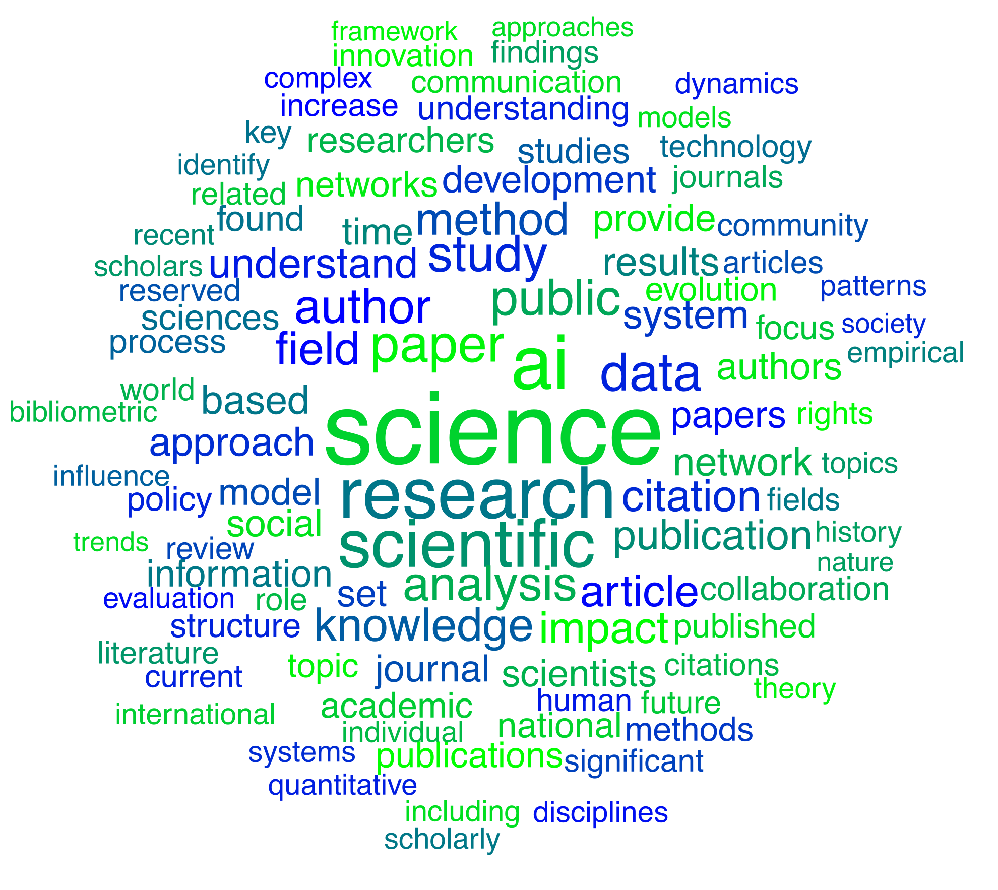
The value proposition of SciSci is that with a deeper understanding of the factors that drive successful science, we can more effectively address environmental, societal, and technological problems (Fortunato et al., 2018).
Read moreScientific Journal Publications
Urban landscape artificialization leads to increased flood hazards in the most vulnerable locations (Under review)
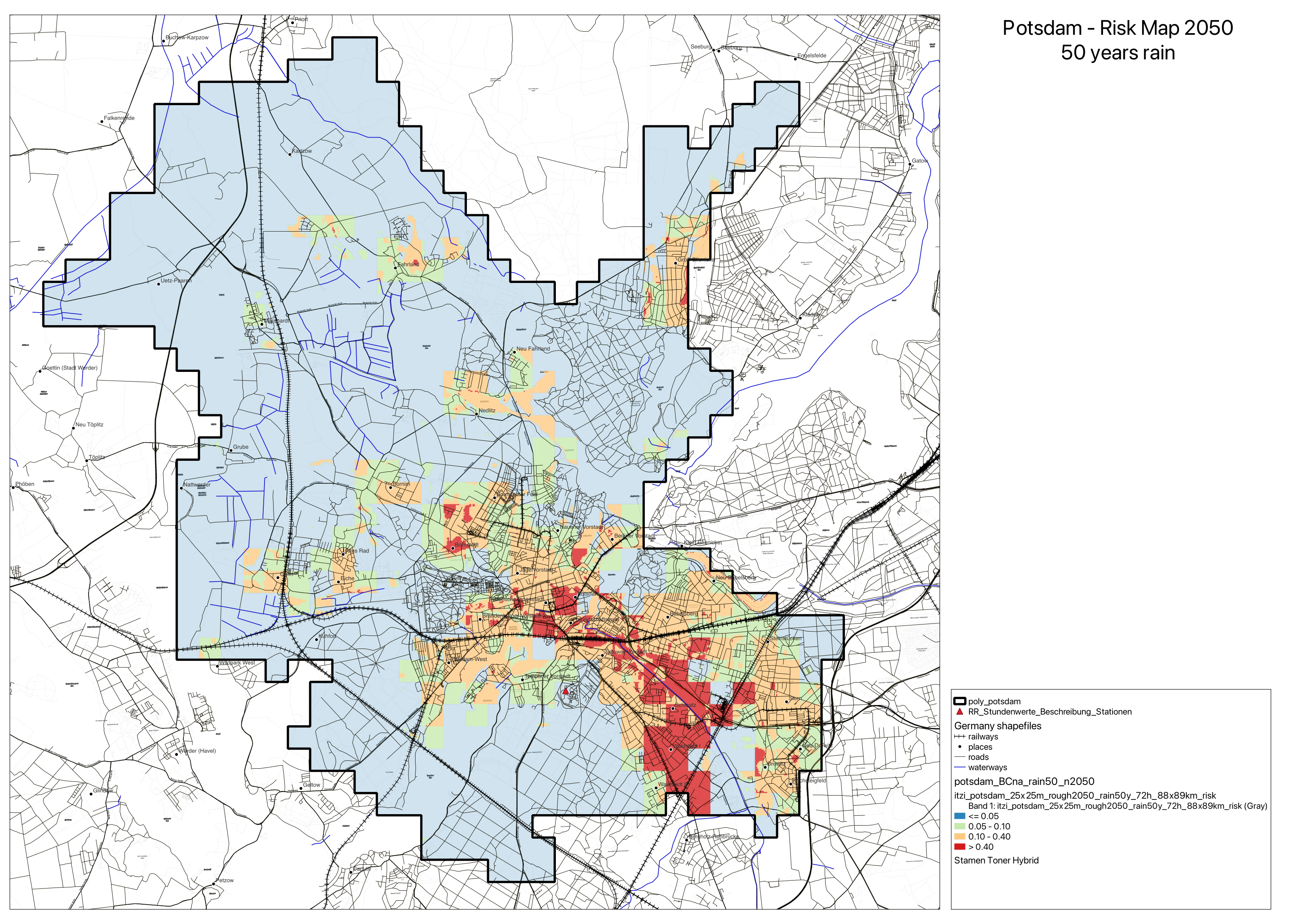
Rapid urbanization worsens cities' environmental burden, amplifying flood risks due to climate change. Artificial landscapes lack ecological functions, impacting human lives. Modeling urban water flows aids in minimizing future flood risks, but it’s complex. We study on flood protection in densely populated cities in Europe, and highlights the need for land use policies integrating natural flood-regulating features in urban planning, accounting for climate change resilience.
Read moreTalks, Workshops, and Events
AI4Copernicus 2023
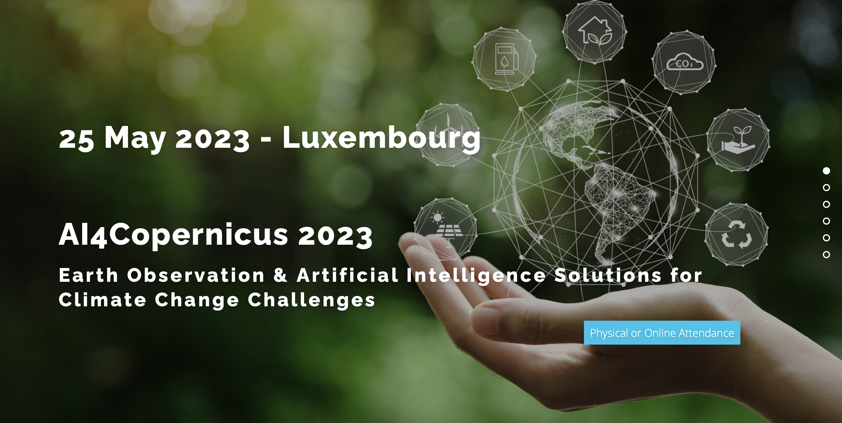
The Copernicus Relays of Luxembourg and Belgium (i.e. LIST, Skywin, ISSeP, Spacebel and VITO) organised the 3rd edition of the AI4Copernicus event, focussing this time on “Earth Observation & Artificial Intelligence solutions for climate change challenges”.
Read more